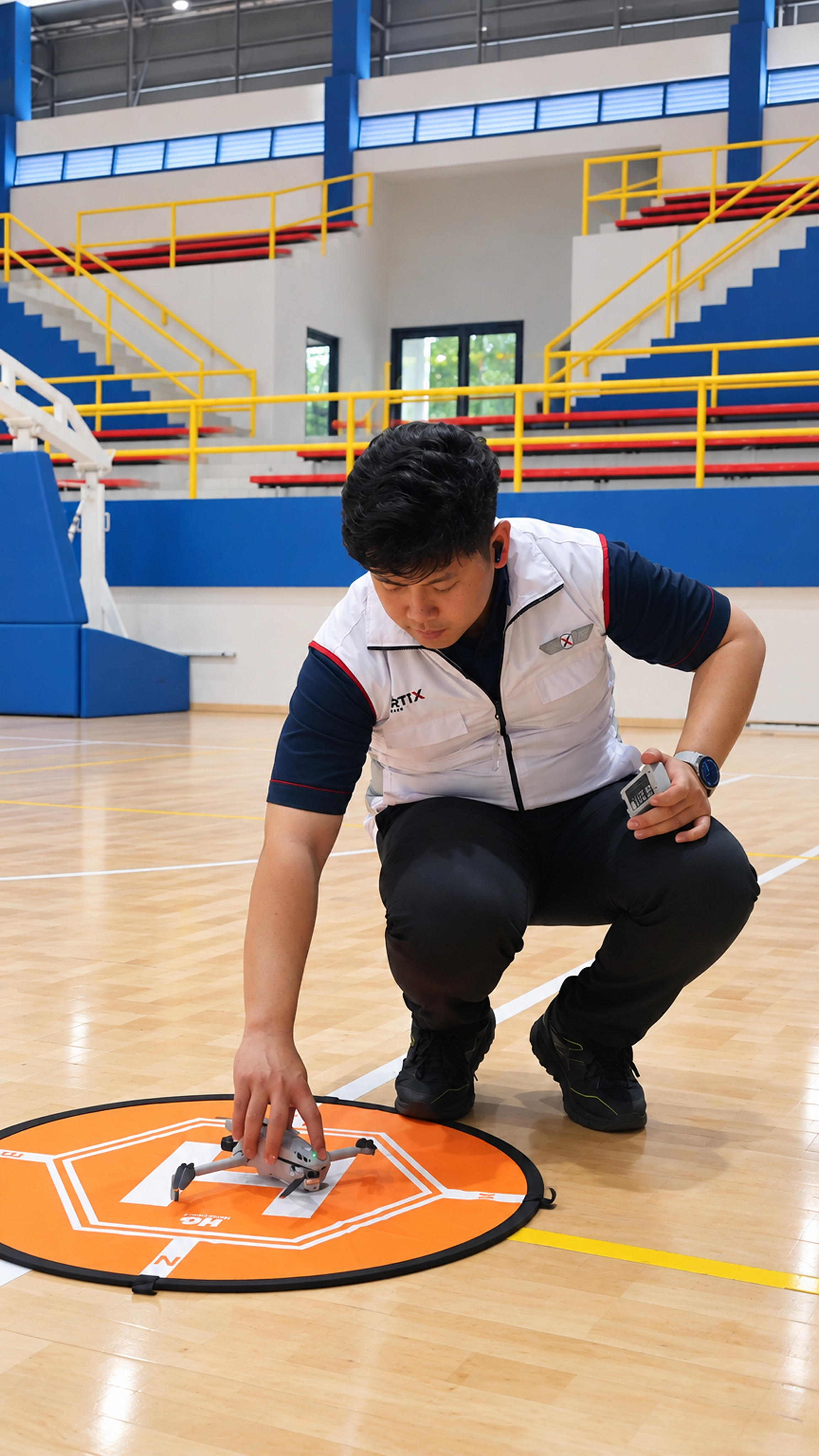
Transforming industrial operations with integrated unmanned systems. We deliver precise data, reduce operational risks, and increase efficiency for enterprise applications.
5+
Years Experience
50+
Certified Pilots
DGCA
Certified
At VERTIX, we specialize in delivering high-fidelity aerial data and robotic solutions for complex industrial environments. Our integrated approach bridges the gap between aerospace discipline and industrial precision.
We equip enterprises with actionable intelligence, seamlessly deploying advanced sensor payloads and proprietary analytics to minimize downtime and maximize safety.
High-resolution topographic mapping, 3D modeling, and volumetric calculations for precise site planning.
Safe and rapid visual inspections of flare stacks, cooling towers, and confined spaces using thermal imaging.
Automated defect detection and predictive maintenance algorithms powered by advanced machine learning models.
Secure routing, monitoring, and de-confliction systems for scalable fleet operations across enterprise sites.
Comprehensive DGCA-certified training programs for enterprise teams ensuring compliance and operational excellence.
We bridge the critical gap between cutting-edge unmanned technology and rigorous industrial demands, ensuring flawless execution on every mission.
Mission Brief
Flight Planning
Data Collection
Processing
Actionable Insight
Partner with Vertix Drones to unlock the full potential of unmanned systems.
Book a Consultation